


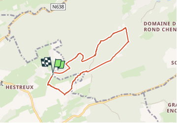
Anthisnes
© OpenStreetMap contributors


1h38
Difficulty : Medium


Length
6.3 km
Max alt
284 m
Uphill gradient
98 m
Km-Effort
7.6 km
Min alt
224 m
Downhill gradient
97 m
Boucle
Yes
Creation date :
2022-02-24 12:59:52.0
Updated on :
2022-06-18 14:07:37.618
1h38
Difficulty : Medium
FREE GPS app for hiking
 SityTrail
IGN / Geographical institutes
SityTrail Plus
The world is yours!
About
Trail Walking of 6.3 km to be discovered at Wallonia, Liège, Anthisnes. This trail is proposed by jadin.jacques@gmail.com.
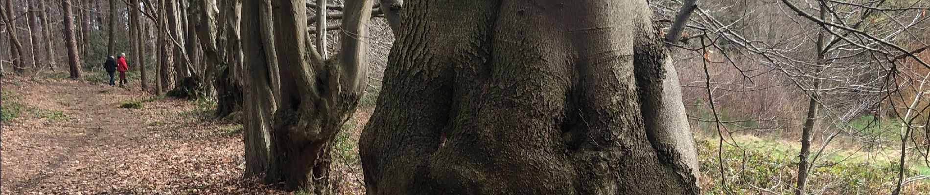
Photos


Positioning
Country:
Belgium
Region :
Wallonia
Department/Province :
Liège
Municipality :
Anthisnes
Location:
Unknown
Start:(Dec)
Start:(UTM)
678249 ; 5598312 (31U) N.
Comments