


Thines-Ranc Fournassier 11km

thonyc
User GUIDE
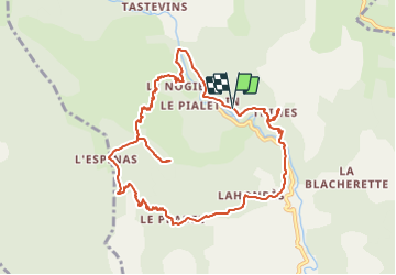


5h00
Difficulty : Difficult

FREE GPS app for hiking
 SityTrail
IGN / Geographical institutes
SityTrail Plus
The world is yours!
About
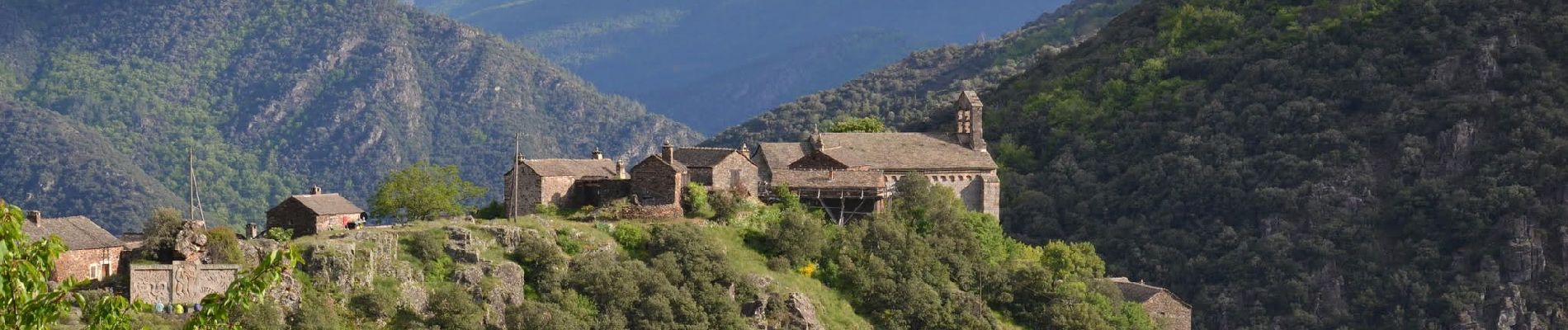
Trail Walking of 11.2 km to be discovered at Auvergne-Rhône-Alpes, Ardèche, Malarce-sur-la-Thines. This trail is proposed by thonyc.
Description
Parcours très varié, superbes sentiers et très jolis panoramas.
Recommandation: sens préférentiel, celui décrit ici car descente sur Le Pradel raide et casse-pattes (sans danger bien sûr).
Nota: stationner 1km avant le village ou démarrer du Pont du Gournier, car très peu de parking à l'entrée du village et traversée interdite en voiture.
Photos


Positioning
Comments