


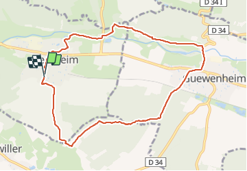

19.9 km | 34 km-effort


User


FREE GPS app for hiking
 SityTrail
IGN / Geographical institutes
SityTrail World
The world is yours!
Trail Walking of 9.6 km to be discovered at Grand Est, Haut-Rhin, Sentheim. This trail is proposed by helmut68.
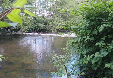
Belle boucle ou à l'aller on longe la Doller rive gauche .Une fois arrivé à l'entrée de Guewenheim ( parcours pieds nus ) traversez le village ( triangle bleu ) pour prendre la direction la chapelle de N.D des Bouleaux.De là suivez le balisage " chevalet jaune " pour le retour à Sentheim.
Alors à vos chaussures !


Walking

Walking

Walking

On foot

On foot
Walking

Walking


Mountain bike