


trek GR57 étape 3 : Comblain-au-Pont . Hamoir

stef789
User GUIDE
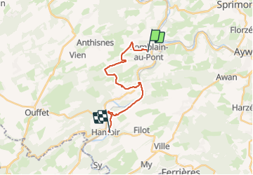

Length
15.4 km

Max alt
275 m

Uphill gradient
354 m
Km-Effort
20 km

Min alt
105 m

Downhill gradient
353 m
Boucle
No
Creation date :
2022-02-28 09:54:21.544
Updated on :
2022-02-28 15:34:34.816
5h37
Difficulty : Medium

FREE GPS app for hiking
 SityTrail
IGN / Geographical institutes
SityTrail Plus
The world is yours!
About
Trail Walking of 15.4 km to be discovered at Wallonia, Liège, Comblain-au-Pont. This trail is proposed by stef789.
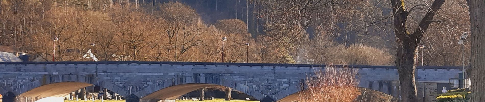
Photos


24 photos in total. Please click on a photo to see them all in the gallery.
Positioning
Country:
Belgium
Region :
Wallonia
Department/Province :
Liège
Municipality :
Comblain-au-Pont
Location:
Unknown
Start:(Dec)
Start:(UTM)
682643 ; 5594693 (31U) N.
Comments