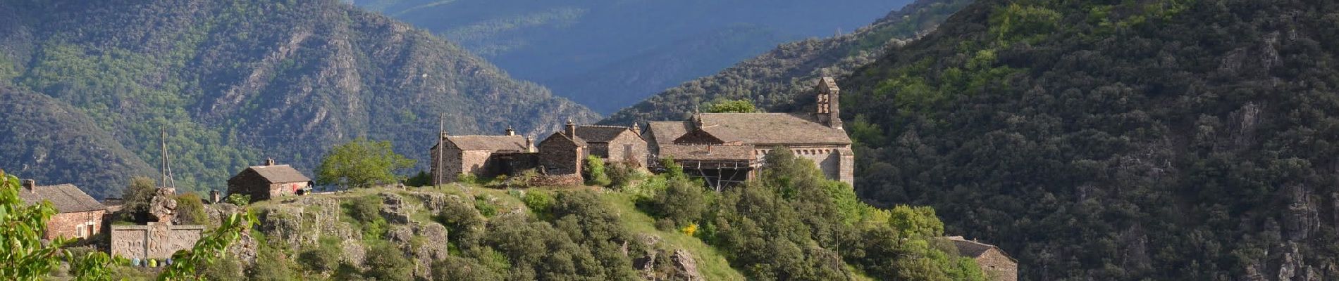
Thines 12km

thonyc
User GUIDE

Length
10.3 km

Max alt
887 m

Uphill gradient
460 m
Km-Effort
16.4 km

Min alt
480 m

Downhill gradient
459 m
Boucle
Yes
Creation date :
2022-03-01 06:50:52.692
Updated on :
2022-03-01 07:58:07.205
3h10
Difficulty : Medium

FREE GPS app for hiking
 SityTrail
IGN / Geographical institutes
SityTrail Plus
The world is yours!
About
Trail Walking of 10.3 km to be discovered at Auvergne-Rhône-Alpes, Ardèche, Malarce-sur-la-Thines. This trail is proposed by thonyc.
Description
Nota: stationner 1km avant le village ou démarrer du Pont du Gournier, car très peu de parking à l'entrée du village et traversée interdite en voiture.
Photos

Positioning
Country:
France
Region :
Auvergne-Rhône-Alpes
Department/Province :
Ardèche
Municipality :
Malarce-sur-la-Thines
Location:
Unknown
Start:(Dec)
Start:(UTM)
583040 ; 4927296 (31T) N.
Comments