


Valloire

fb30
User
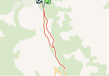

Length
6.6 km

Max alt
1972 m

Uphill gradient
224 m
Km-Effort
9.6 km

Min alt
1747 m

Downhill gradient
225 m
Boucle
Yes
Creation date :
2022-03-02 09:56:40.0
Updated on :
2022-03-02 15:44:11.35
2h24
Difficulty : Medium

FREE GPS app for hiking
 SityTrail
IGN / Geographical institutes
SityTrail Plus
The world is yours!
About
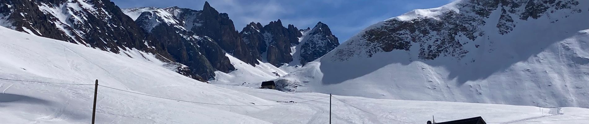
Trail Walking of 6.6 km to be discovered at Auvergne-Rhône-Alpes, Savoy, Valloire. This trail is proposed by fb30.
Photos


Positioning
Country:
France
Region :
Auvergne-Rhône-Alpes
Department/Province :
Savoy
Municipality :
Valloire
Location:
Unknown
Start:(Dec)
Start:(UTM)
297358 ; 4998898 (32T) N.
Comments