


20220303-Rouen

doudet
User

Length
13.2 km

Max alt
148 m

Uphill gradient
314 m
Km-Effort
17.4 km

Min alt
-9 m

Downhill gradient
312 m
Boucle
Yes
Creation date :
2022-03-03 12:57:11.373
Updated on :
2022-03-03 18:33:12.78
3h53
Difficulty : Medium

FREE GPS app for hiking
 SityTrail
IGN / Geographical institutes
SityTrail Plus
The world is yours!
About
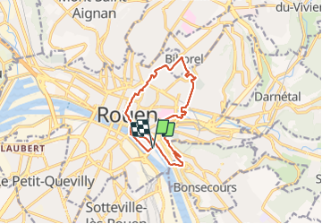
Trail Walking of 13.2 km to be discovered at Normandy, Seine-Maritime, Rouen. This trail is proposed by doudet.
Description
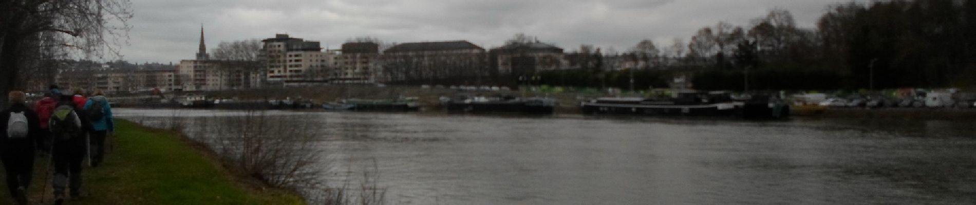
Boucle A-R au départ de la Patinoire de Rouen
Photos


53 photos in total. Please click on a photo to see them all in the gallery.
Positioning
Country:
France
Region :
Normandy
Department/Province :
Seine-Maritime
Municipality :
Rouen
Location:
Unknown
Start:(Dec)
Start:(UTM)
362548 ; 5477186 (31U) N.
Comments