


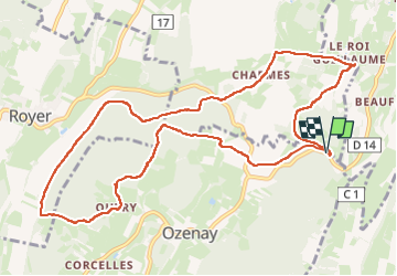
Ozenay les jonquilles 2 col de beaufer page 64

grasgilbert
User

Length
12.2 km

Max alt
351 m

Uphill gradient
325 m
Km-Effort
16.5 km

Min alt
213 m

Downhill gradient
325 m
Boucle
Yes
Creation date :
2022-03-03 12:40:31.658
Updated on :
2024-03-07 17:47:15.463
3h45
Difficulty : Difficult

FREE GPS app for hiking
 SityTrail
IGN / Geographical institutes
SityTrail Plus
The world is yours!
About
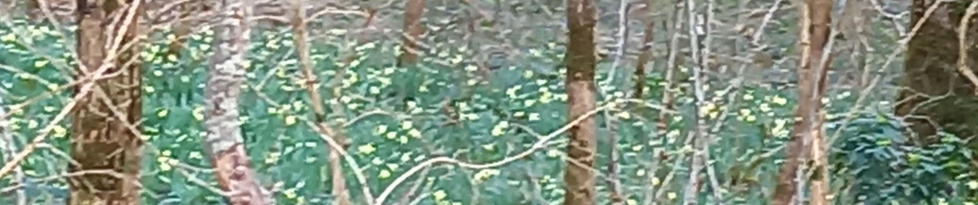
Trail Walking of 12.2 km to be discovered at Bourgogne-Franche-Comté, Saône-et-Loire, Ozenay. This trail is proposed by grasgilbert.
Photos

Positioning
Country:
France
Region :
Bourgogne-Franche-Comté
Department/Province :
Saône-et-Loire
Municipality :
Ozenay
Location:
Unknown
Start:(Dec)
Start:(UTM)
643343 ; 5157035 (31T) N.
Comments
très bien