


Maredsous 040322

guyernage25
User
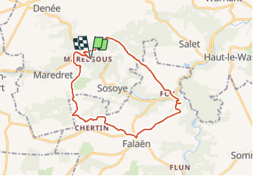

Length
14.1 km

Max alt
265 m

Uphill gradient
330 m
Km-Effort
18.5 km

Min alt
127 m

Downhill gradient
330 m
Boucle
Yes
Creation date :
2022-03-04 09:49:32.022
Updated on :
2022-03-04 14:23:19.271
3h43
Difficulty : Medium

FREE GPS app for hiking
 SityTrail
IGN / Geographical institutes
SityTrail Plus
The world is yours!
About
Trail Walking of 14.1 km to be discovered at Wallonia, Namur, Anhée. This trail is proposed by guyernage25.
Description
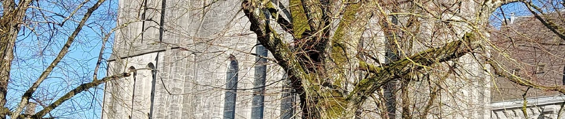
Belle rando avec beaucoup de beaux points de vue
Photos


Positioning
Country:
Belgium
Region :
Wallonia
Department/Province :
Namur
Municipality :
Anhée
Location:
Unknown
Start:(Dec)
Start:(UTM)
626120 ; 5573989 (31U) N.
Comments