


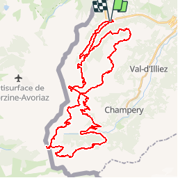


5.7 km | 10.6 km-effort


Optez pour le retour à la nature GUIDE+


FREE GPS app for hiking
 SityTrail
IGN / Geographical institutes
SityTrail World
The world is yours!
Trail Mountain bike of 54 km to be discovered at Valais/Wallis, Monthey, Troistorrents. This trail is proposed by My Switzerland.

Snowshoes

Snowshoes
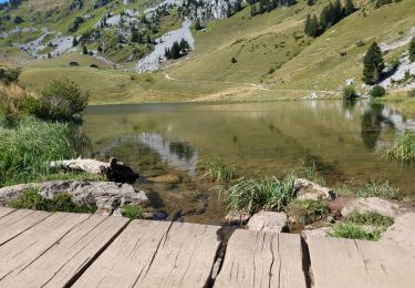
Walking
Walking

Snowshoes

Walking
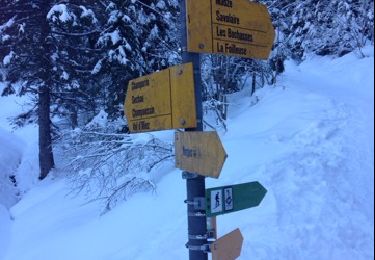
Snowshoes
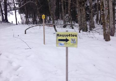
Snowshoes
Mountain bike