


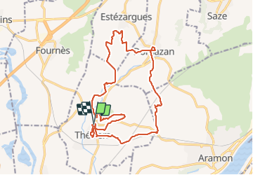

17.7 km | 23 km-effort


User


FREE GPS app for hiking
 SityTrail
IGN / Geographical institutes
SityTrail World
The world is yours!
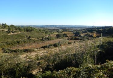
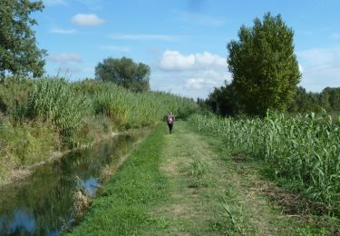
Trail Walking of 19.8 km to be discovered at Occitania, Gard, Théziers. This trail is proposed by Manoune.
parking place du marché et de l école.
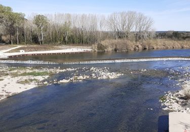
Chemin des escaliers (travaux) faire un détour qui augmente le trajet , la Velle, Domazan , visite du village, les grandes vignes,le Devois, rivière du Briançon à droite, pont des Avons, le Castellas, parking.


Walking
Walking

Walking

Walking
Mountain bike

Walking
Mountain bike

Walking