


2022 randonnée gometz le chatel

mimimartine
User
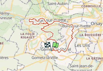

Length
18.6 km

Max alt
171 m

Uphill gradient
294 m
Km-Effort
22 km

Min alt
59 m

Downhill gradient
294 m
Boucle
Yes
Creation date :
2022-03-06 08:17:32.829
Updated on :
2022-03-06 14:37:08.907
4h22
Difficulty : Very difficult

FREE GPS app for hiking
 SityTrail
IGN / Geographical institutes
SityTrail Plus
The world is yours!
About
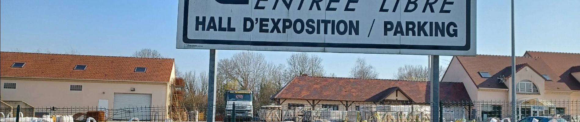
Trail Walking of 18.6 km to be discovered at Ile-de-France, Essonne, Gometz-le-Châtel. This trail is proposed by mimimartine.
Photos


Positioning
Country:
France
Region :
Ile-de-France
Department/Province :
Essonne
Municipality :
Gometz-le-Châtel
Location:
Unknown
Start:(Dec)
Start:(UTM)
436206 ; 5391903 (31U) N.
Comments