


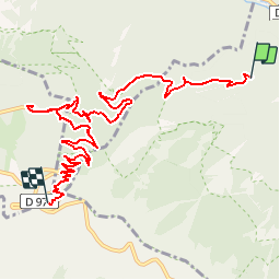

19.1 km | 30 km-effort


User


FREE GPS app for hiking
 SityTrail
IGN / Geographical institutes
SityTrail World
The world is yours!
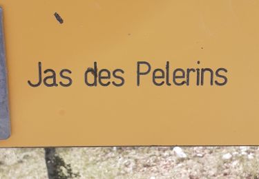
Trail Walking of 10.9 km to be discovered at Provence-Alpes-Côte d'Azur, Vaucluse, Brantes. This trail is proposed by FILLE.
11ème tronçon sur le Chemin de la Sainte Baume.
Plus d'infos sur www.depasenpas.com

Walking

Walking
Walking
Walking
Walking

Walking
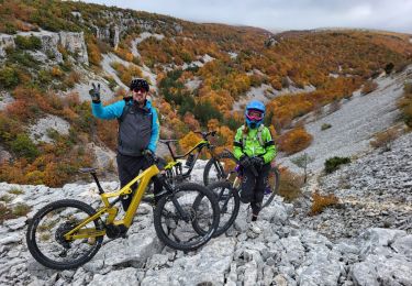
Mountain bike
Walking
Walking