


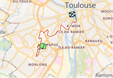


21 km | 24 km-effort

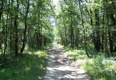
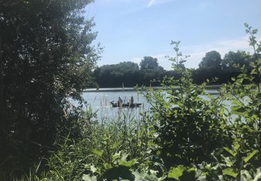
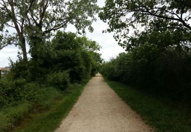
Un grand voyage à pied, à travers Toulouse, pour le plaisir et pour la santé !


FREE GPS app for hiking
 SityTrail
IGN / Geographical institutes
SityTrail World
The world is yours!
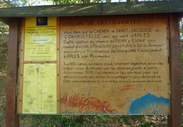
Trail Walking of 10.7 km to be discovered at Occitania, Haute-Garonne, Toulouse. This trail is proposed by Transtoulousaine.
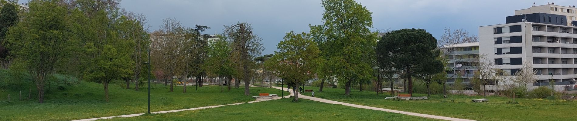
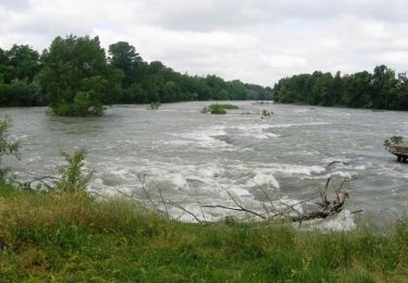
La nature au cœur des quartiers
Bellefontaine, Reynerie, le Mirail, Bagatelle, la Faourette, Fontaine Lestang

Walking
Walking
Walking

Walking

Cycle

Walking

Walking
Walking
Mountain bike