


vailhauques Arsel

labarone
User


Length
20 km

Max alt
293 m

Uphill gradient
429 m
Km-Effort
26 km

Min alt
104 m

Downhill gradient
429 m
Boucle
Yes
Creation date :
2022-03-08 07:52:58.041
Updated on :
2022-03-08 15:07:26.451
6h28
Difficulty : Medium

FREE GPS app for hiking
 SityTrail
IGN / Geographical institutes
SityTrail Plus
The world is yours!
About
Trail Walking of 20 km to be discovered at Occitania, Hérault, Montarnaud. This trail is proposed by labarone.
Description
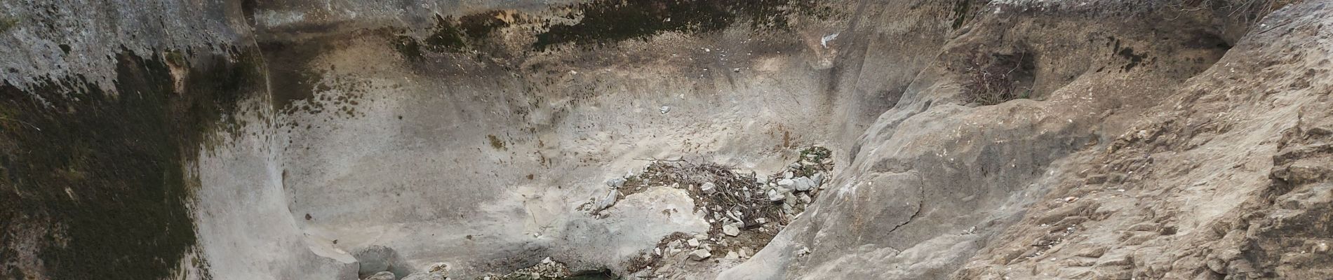
rando tranquille
voir le dolmen
au niveau des marmittes soyez prudents
Photos


Positioning
Country:
France
Region :
Occitania
Department/Province :
Hérault
Municipality :
Montarnaud
Location:
Unknown
Start:(Dec)
Start:(UTM)
556283 ; 4833078 (31T) N.
Comments
une erreur pour le titre : c'est MONTARNAUD