


7.8 km | 12.4 km-effort

User


FREE GPS app for hiking
 SityTrail
IGN / Geographical institutes
SityTrail World
The world is yours!
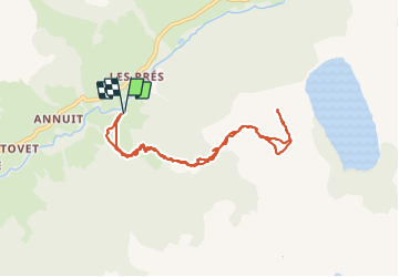
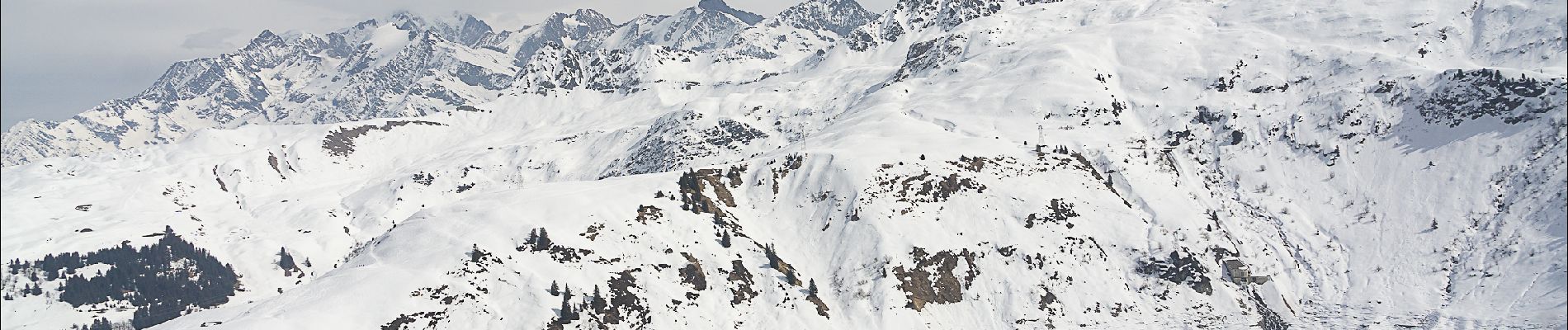
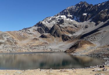
Trail Snowshoes of 8.7 km to be discovered at Auvergne-Rhône-Alpes, Savoy, Hauteluce. This trail is proposed by ilur56.
Randonnée au départ du hameau Les Granges jusqu'à la côte 1926 sur la carte IGN (au dessus du lac de la Girotte). La première partie, raide, suit le sentier d'été en forêt (balisage jaune) jusqu'à la Commanderie. La seconde partie est en alpages, avec une pente beaucoup plus douce.

Walking

Walking

Walking
Walking
Touring skiing
Walking
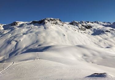
Touring skiing
Walking
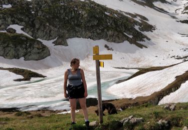
Walking