


Balade Florennes-Chaumont

christinelejoly
User
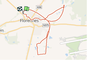

Length
10 km

Max alt
274 m

Uphill gradient
97 m
Km-Effort
11.3 km

Min alt
249 m

Downhill gradient
96 m
Boucle
Yes
Creation date :
2022-03-13 08:36:36.0
Updated on :
2022-03-13 10:28:58.363
1h46
Difficulty : Very easy

FREE GPS app for hiking
 SityTrail
IGN / Geographical institutes
SityTrail Plus
The world is yours!
About
Trail Walking of 10 km to be discovered at Wallonia, Namur, Florennes. This trail is proposed by christinelejoly.
Description
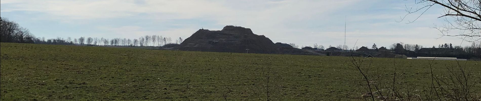
Florennes - Chaumont via l’ancienne ligne de chemin de fer.
Retour via le Richa puis par le village
Photos


Positioning
Country:
Belgium
Region :
Wallonia
Department/Province :
Namur
Municipality :
Florennes
Location:
Unknown
Start:(Dec)
Start:(UTM)
613980 ; 5568134 (31U) N.
Comments