


bois des masques/ St Vincent la Commanderie

okfred26
User
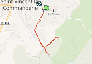

Length
2 km

Max alt
470 m

Uphill gradient
66 m
Km-Effort
2.9 km

Min alt
395 m

Downhill gradient
67 m
Boucle
Yes
Creation date :
2022-03-13 14:01:01.247
Updated on :
2022-03-13 15:03:58.336
34m
Difficulty : Very easy

FREE GPS app for hiking
 SityTrail
IGN / Geographical institutes
SityTrail Plus
The world is yours!
About
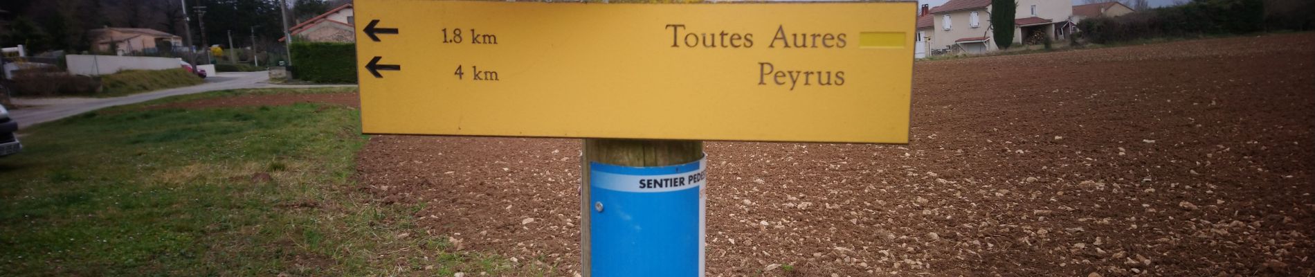
Trail Walking of 2 km to be discovered at Auvergne-Rhône-Alpes, Drôme, Saint-Vincent-la-Commanderie. This trail is proposed by okfred26.
Photos


Positioning
Country:
France
Region :
Auvergne-Rhône-Alpes
Department/Province :
Drôme
Municipality :
Saint-Vincent-la-Commanderie
Location:
Unknown
Start:(Dec)
Start:(UTM)
667405 ; 4978192 (31T) N.
Comments