


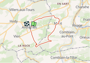
Anthisnes - Mont ( Comblain au Pont)

tatous
User

Length
10.4 km

Max alt
279 m

Uphill gradient
204 m
Km-Effort
13.1 km

Min alt
191 m

Downhill gradient
203 m
Boucle
Yes
Creation date :
2022-03-13 16:22:48.844
Updated on :
2022-03-13 16:24:06.014
2h59
Difficulty : Difficult

FREE GPS app for hiking
 SityTrail
IGN / Geographical institutes
SityTrail Plus
The world is yours!
About
Trail Walking of 10.4 km to be discovered at Wallonia, Liège, Anthisnes. This trail is proposed by tatous.
Positioning
Country:
Belgium
Region :
Wallonia
Department/Province :
Liège
Municipality :
Anthisnes
Location:
Unknown
Start:(Dec)
Start:(UTM)
679081 ; 5595010 (31U) N.
Comments