


Fond de Chavenois

noelphil
User
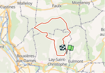

Length
12 km

Max alt
375 m

Uphill gradient
231 m
Km-Effort
15.1 km

Min alt
245 m

Downhill gradient
227 m
Boucle
Yes
Creation date :
2022-03-15 12:55:47.179
Updated on :
2022-03-15 16:06:38.69
3h10
Difficulty : Difficult

FREE GPS app for hiking
 SityTrail
IGN / Geographical institutes
SityTrail Plus
The world is yours!
About
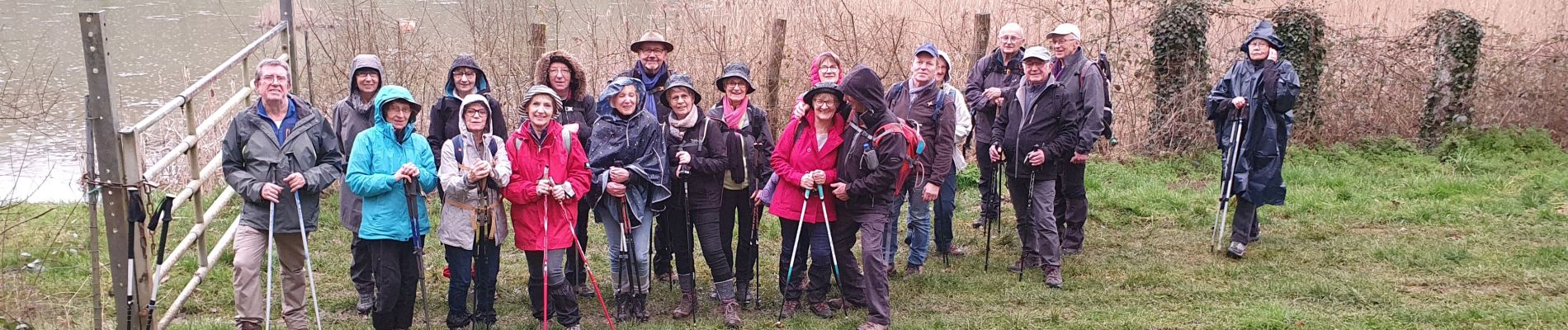
Trail Walking of 12 km to be discovered at Grand Est, Meurthe-et-Moselle, Lay-Saint-Christophe. This trail is proposed by noelphil.
Photos


Positioning
Country:
France
Region :
Grand Est
Department/Province :
Meurthe-et-Moselle
Municipality :
Lay-Saint-Christophe
Location:
Unknown
Start:(Dec)
Start:(UTM)
295067 ; 5403895 (32U) N.
Comments