Trail Equestrian Herzeele - Orgues d'Herzeele et moulin de l'Hofland - Herzeele - Photo

Orgues d'Herzeele et moulin de l'Hofland - Herzeele

 tracegps
tracegps

User

© OpenStreetMap contributors
Length
Length
12.7 km
Max alt
Max alt
21 m
Uphill gradient
Uphill gradient
52 m
Km-Effort
Km-Effort  
13.4 km
Min alt
Min alt
3 m
Downhill gradient
Downhill gradient
52 m
Boucle
Boucle
Yes
Creation date :
2014-12-10 00:00:00.0
Updated on :
2014-12-10 00:00:00.0

(0 Reviews)

Equestrian
Equestrian
1h45
Difficulty : Easy

Scan this QR Code to open this trail in the SityTrail application

FREE GPS app for hiking

Logo SityTrail SityTrail

IGN / Geographical institutes

Download SityTrail from the App Store Download SityTrail from Google Play

Logo SityTrail SityTrail World

The world is yours!

Download SityTrail from the App Store Download SityTrail from Google Play Download SityTrail on Huawei AppGallery

About

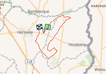
Trail Equestrian of 12.7 km to be discovered at Hauts-de-France, Nord, Herzeele. This trail is proposed by tracegps.

Description

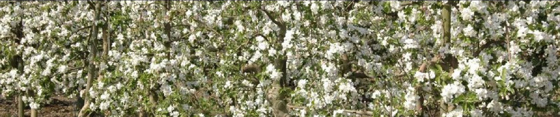
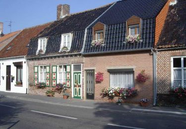
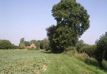
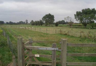
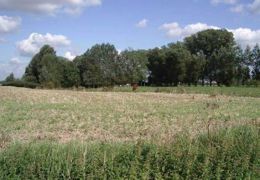
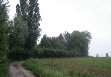
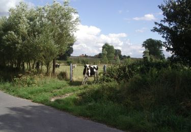
Départ du délaissé le long de la RD 17. A deux pas du centre d'Herzeele et de ses célèbres orgues, vous longerez de nombreux vergers. Aux environs du bois de Saint-Acaire, vous aurez peut-être l'occasion d'apercevoir des biches au milieu des cultures. Retrouvez cette randonnée sur le site du comité départemental du Nord . Fiche n° 7 de la pochette « Découvrir le Nord, au pas, au trot, au galop...».

Elevation profile

Photos

Positioning

Country:
France
Region :
Hauts-de-France
Department/Province :
Nord
Municipality :
Herzeele
Location:
Unknown
Start:(UTM)
468633 ; 5637123 (31U) N.

Trails nearby

Trail On foot Poperinge - Dode IJzer wandelroute - Photo
On foot
PRO

On foot

Easy
Poperinge, Flanders, West Flanders, Belgium
7.1 km | 7.4 km-effort
1h 41min
Yes
Trail On foot Poperinge - Warandepad Watou - Photo
On foot
PRO

On foot

Easy
Poperinge, Flanders, West Flanders, Belgium
9.4 km | 9.9 km-effort
2h 15min
Yes
Trail Equestrian Oudezeele - La ronde des moulins à vent - Oudezeele - Photo
Equestrian
tracegps

Equestrian

Difficult
Oudezeele, Hauts-de-France, Nord, France
39 km | 41 km-effort
5h 45min
Yes
Trail Walking Houtkerque - Aux quatre extrémités d'Houtkerque - Photo
Walking
tracegps

Walking

Difficult
Houtkerque, Hauts-de-France, Nord, France
13.9 km | 14.7 km-effort
3h 30min
Yes
Trail Walking Winnezeele - La rando des Seigneurs - Winnezeele - Photo
Walking
tracegps

Walking

Medium
Winnezeele, Hauts-de-France, Nord, France
11.7 km | 12.7 km-effort
3h 0min
Yes
Trail Walking Oost-Cappel - Dode Yjzer via Oost-Cappel - Photo
Walking
tracegps

Walking

Medium
Oost-Cappel, Hauts-de-France, Nord, France
11.5 km | 12.1 km-effort
2h 49min
Yes
Trail Walking Herzeele - Circuit des 5 Becques (Herzeele) - Photo
Walking
tracegps

Walking

Medium
Herzeele, Hauts-de-France, Nord, France
12.7 km | 13.3 km-effort
3h 10min
Yes
Trail Walking Wylder - Circuit GPS du Château de la Briarde - Wylder - Photo
Walking
tracegps

Walking

Medium
Wylder, Hauts-de-France, Nord, France
11.2 km | 11.9 km-effort
2h 49min
Yes
Trail Walking Winnezeele - Circuit du centre du village - Winnezeele - Photo
Walking
tracegps

Walking

Easy
Winnezeele, Hauts-de-France, Nord, France
5 km | 5.3 km-effort
1h 15min
Yes


Close
My subscriptions