


52 km | 63 km-effort


User


FREE GPS app for hiking
 SityTrail
IGN / Geographical institutes
SityTrail World
The world is yours!
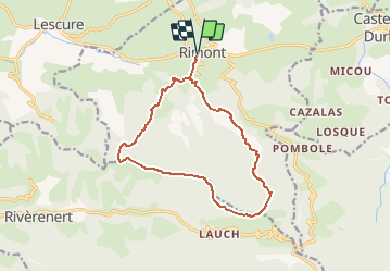
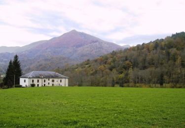
Trail Walking of 14.4 km to be discovered at Occitania, Ariège, Rimont. This trail is proposed by tracegps.
Au départ de Rimont (parking face à la Poste), ce circuit parcourt les collines boisées du Plantaurel en passant par l'abbaye de Combelongue, puis sur un sentier en crête par le pic d'Eychenne, le roc de Castillon et la Coue Rouge.


Electric bike

Mountain bike
Mountain bike
Equestrian
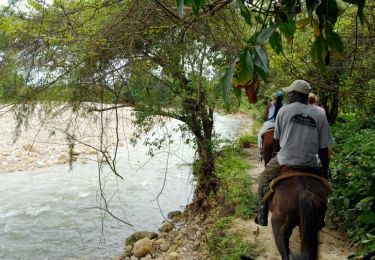
Equestrian
Equestrian

Walking
Mountain bike
Mountain bike
Rimont