


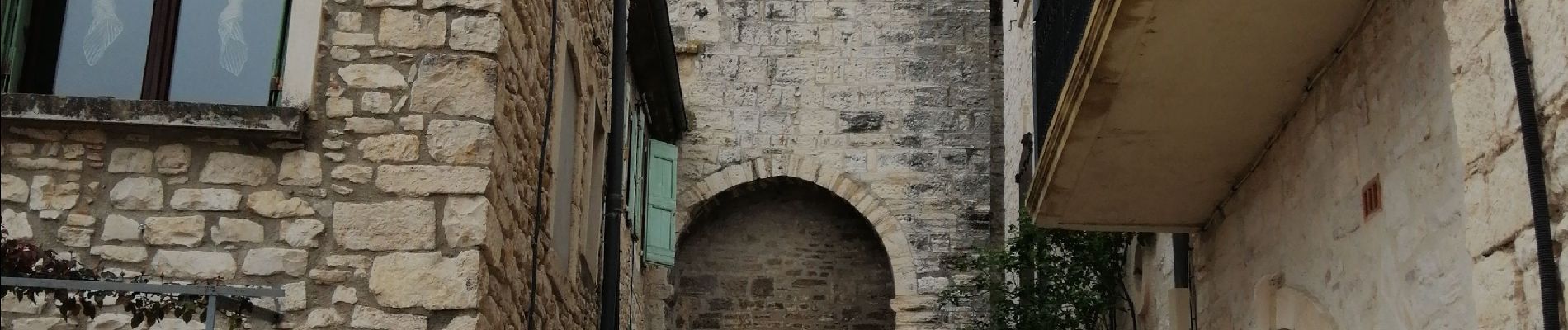
les 3 villages

GOIOLIRIBES
User
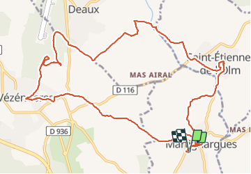

Length
15.2 km

Max alt
207 m

Uphill gradient
308 m
Km-Effort
19.4 km

Min alt
100 m

Downhill gradient
312 m
Boucle
Yes
Creation date :
2022-03-17 08:33:48.208
Updated on :
2022-03-17 14:26:11.212
5h51
Difficulty : Very difficult

FREE GPS app for hiking
 SityTrail
IGN / Geographical institutes
SityTrail Plus
The world is yours!
About
Trail Walking of 15.2 km to be discovered at Occitania, Gard, Martignargues. This trail is proposed by GOIOLIRIBES.
Photos


Positioning
Country:
France
Region :
Occitania
Department/Province :
Gard
Municipality :
Martignargues
Location:
Unknown
Start:(Dec)
Start:(UTM)
594274 ; 4877347 (31T) N.
Comments
Joli circuit riche en patrimoine. J'ai ajouté le village de Deaux,en prenant à droite après avoir traverser la rivière au point 107 Bagnadou. Merci Audier.