


Florennes - Saint-Aubin - Chaumont - Florennes

christinelejoly
User
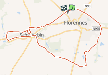

Length
12 km

Max alt
274 m

Uphill gradient
118 m
Km-Effort
13.5 km

Min alt
226 m

Downhill gradient
118 m
Boucle
Yes
Creation date :
2022-03-18 08:45:04.0
Updated on :
2022-03-18 11:01:41.521
2h10
Difficulty : Very easy

FREE GPS app for hiking
 SityTrail
IGN / Geographical institutes
SityTrail Plus
The world is yours!
About
Trail Walking of 12 km to be discovered at Wallonia, Namur, Florennes. This trail is proposed by christinelejoly.
Description
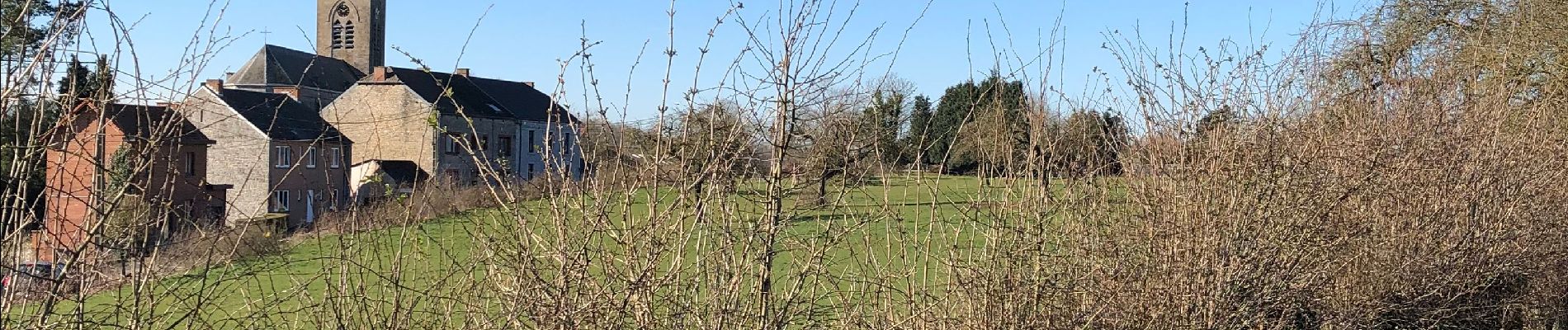
Via ancienne ligne de chemin de fer et routes de campagne
Photos


Positioning
Country:
Belgium
Region :
Wallonia
Department/Province :
Namur
Municipality :
Florennes
Location:
Unknown
Start:(Dec)
Start:(UTM)
613967 ; 5568147 (31U) N.
Comments