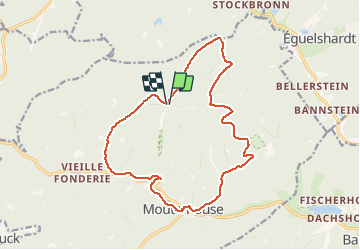

7.8 km | 10.1 km-effort

User


FREE GPS app for hiking
 SityTrail
IGN / Geographical institutes
SityTrail World
The world is yours!
Trail Walking of 15.6 km to be discovered at Grand Est, Moselle, Mouterhouse. This trail is proposed by tracegps.
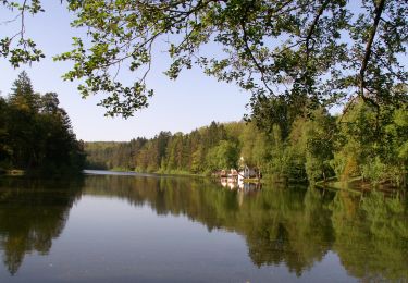
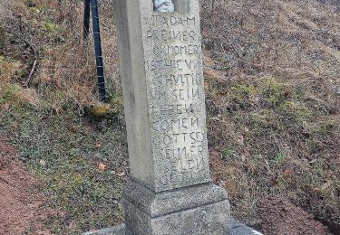
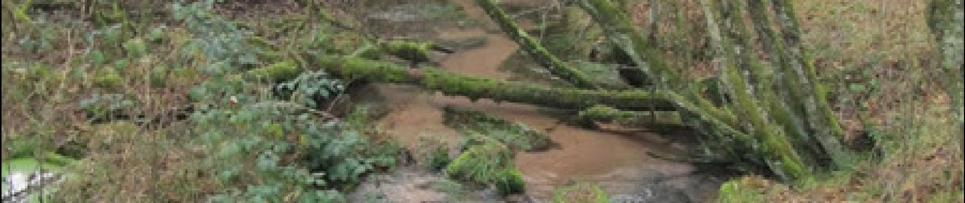
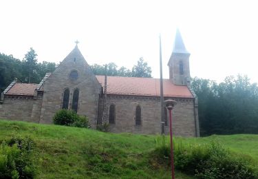
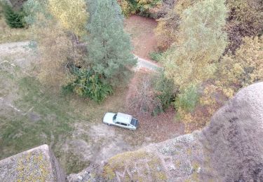
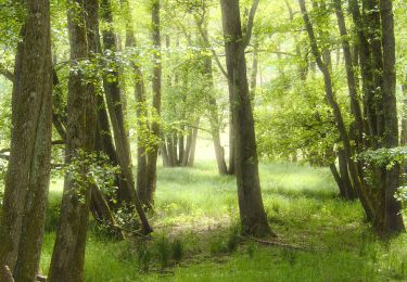
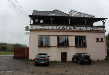
Départ du parking en bordure de la route forestière à Petephilippsgarten. Le chemin jusqu’à la maison forestière du Hochkopf n’est pas balisé. A la MF, voir l’abri téléphonique de la ligne Maginot et continuer sur le chemin balisé croix rouge. A proximité du Carlsfelsen, continuer sur un bon chemin non balisé, sur 850m. Puis sur chemin disque rouge jusqu’à l’étang de Mouterhouse qu’on longe rive droite sur triangle jaune. A partir de la chapelle de Mouterhouse, longer la D36 sur 300m avant de tourner à droite sur la digue d’un étang en suivant anneau bleu vallée de la Zinsel, rive gauche, puis la vallée du Weissbach avant de revenir au Peterphilippsgarten.


Walking

Walking
On foot
On foot