


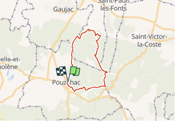

5.6 km | 7 km-effort


User


FREE GPS app for hiking
 SityTrail
IGN / Geographical institutes
SityTrail World
The world is yours!
Trail Walking of 11.3 km to be discovered at Occitania, Gard, Pouzilhac. This trail is proposed by tracegps.
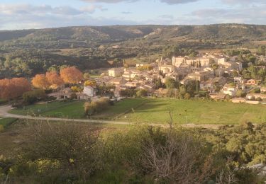
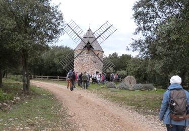
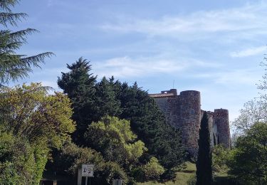
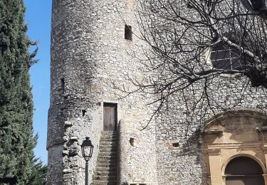
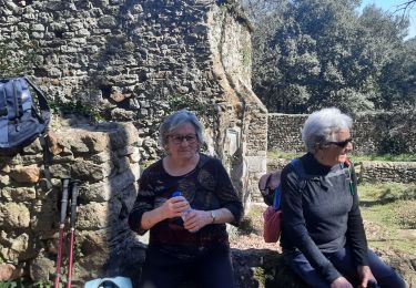
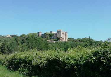
Sentier botanique de Gaujac et la forêt de Pouzilhac au programme du circuit, avec la possibilité de faire le tour complet du sentier botanique (20mn de plus). Très belles vues sur la vallée du Rhône. Du centre sportif de Pouzilhac, partir au nord par un bon chemin qui devient un sentier et domine le paysage. Descendre au sentier botanique puis quitter la combe à campagne Athon. Admirer le paysage tout le long de la montée, puis à travers bois en suivant le balisage jaune, retourner au parking. Bonne rando.


Walking
Walking
Walking

Walking
Walking
Walking

Walking
Mountain bike
Belle rando attention la majeure partie se situe en DFCI très exposé à éviter les jours chauds.
Belle rando