


Le tour de Cany-Barville

tracegps
User
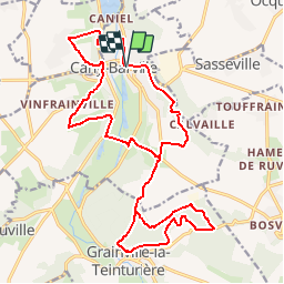

Length
21 km

Max alt
133 m

Uphill gradient
515 m
Km-Effort
28 km

Min alt
13 m

Downhill gradient
515 m
Boucle
Yes
Creation date :
2014-12-10 00:00:00.0
Updated on :
2014-12-10 00:00:00.0
2h30
Difficulty : Difficult
FREE GPS app for hiking
 SityTrail
IGN / Geographical institutes
SityTrail Plus
The world is yours!
About
Trail Other activity of 21 km to be discovered at Normandy, Seine-Maritime, Cany-Barville. This trail is proposed by tracegps.
Description
Voyagez par monts et par vaux, découvrez le château de Cany et la forêt de Grainville la teinturière.
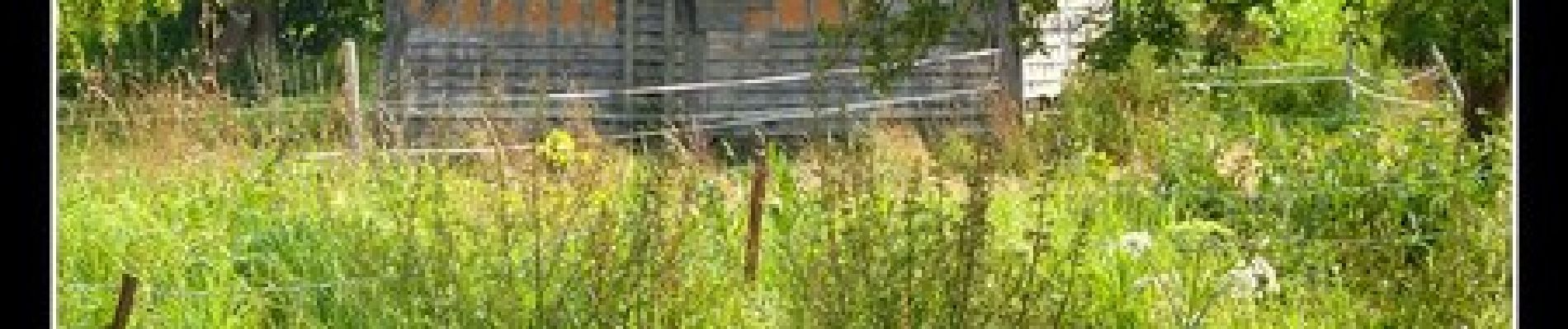
Photos


Positioning
Country:
France
Region :
Normandy
Department/Province :
Seine-Maritime
Municipality :
Cany-Barville
Location:
Unknown
Start:(Dec)
Start:(UTM)
330111 ; 5517611 (31U) N.
Comments