


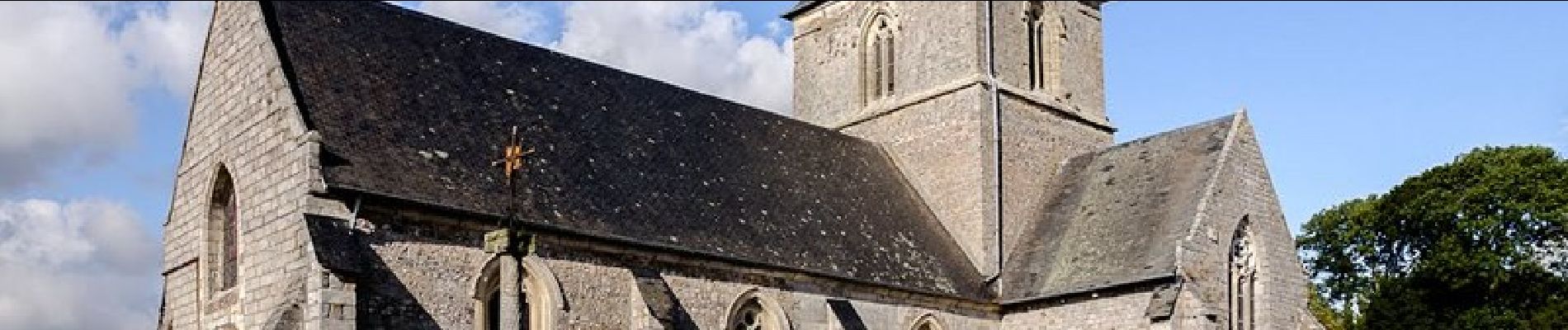
Terre du sucre - Fontaine-le-Dun

tracegps
User
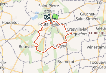

Length
11.1 km

Max alt
115 m

Uphill gradient
157 m
Km-Effort
13.2 km

Min alt
49 m

Downhill gradient
155 m
Boucle
Yes
Creation date :
2014-12-10 00:00:00.0
Updated on :
2014-12-10 00:00:00.0
1h15
Difficulty : Medium

FREE GPS app for hiking
 SityTrail
IGN / Geographical institutes
SityTrail Plus
The world is yours!
About
Trail Other activity of 11.1 km to be discovered at Normandy, Seine-Maritime, Fontaine-le-Dun. This trail is proposed by tracegps.
Description
Passage à proximité de la sucrerie, château, calvaire, chapelle du hameau de Tonneville, passage devant la belle mare d'Autigny, retour par le château et colombier de Crasville.
Photos


Positioning
Country:
France
Region :
Normandy
Department/Province :
Seine-Maritime
Municipality :
Fontaine-le-Dun
Location:
Unknown
Start:(Dec)
Start:(UTM)
345331 ; 5520036 (31U) N.
Comments