


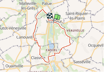
Autour de Caniel - Vittefleur

tracegps
User


1h30
Difficulty : Difficult

FREE GPS app for hiking
 SityTrail
IGN / Geographical institutes
SityTrail Plus
The world is yours!
About
Trail Other activity of 13.4 km to be discovered at Normandy, Seine-Maritime, Vittefleur. This trail is proposed by tracegps.
Description
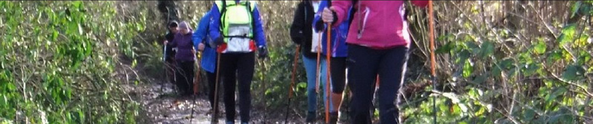
Parcours patrimoine dans Vittefleur. Jolis chemins en fonds de vallons et pittoresques cavées. Le balisage est quasi inexistant. Après les fortes pluies le chemin se transforme en rivière. (voir photos)
Photos


Positioning
Comments