Trail Snowshoes Bussang - La boucle Sud de Ste Barbe - Bussang - Photo

La boucle Sud de Ste Barbe - Bussang

 tracegps
tracegps

User

© OpenStreetMap contributors
Length
Length
6.8 km
Max alt
Max alt
994 m
Uphill gradient
Uphill gradient
389 m
Km-Effort
Km-Effort  
12 km
Min alt
Min alt
597 m
Downhill gradient
Downhill gradient
389 m
Boucle
Boucle
Yes
Creation date :
2014-12-10 00:00:00.0
Updated on :
2014-12-10 00:00:00.0

(0 Reviews)

Snowshoes
Snowshoes
3h00
Difficulty : Medium

Scan this QR Code to open this trail in the SityTrail application

FREE GPS app for hiking

Logo SityTrail SityTrail

IGN / Geographical institutes

Download SityTrail from the App Store Download SityTrail from Google Play

Logo SityTrail SityTrail Plus

The world is yours!

Download SityTrail from the App Store Download SityTrail from Google Play Download SityTrail on Huawei AppGallery

About

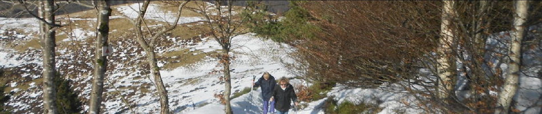
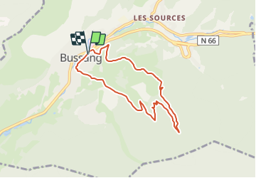
Trail Snowshoes of 6.8 km to be discovered at Grand Est, Vosges, Bussang. This trail is proposed by tracegps.

Description

Départ du casino de Bussang pour un parcours avec 2 difficultés qui sont la montée vers Sainte-Barbe (840 m), lorsque l'on quitte la route forestière. En cours de route, vous avez la possibilité de faire une pause au chalet des Evaux (920m). En hiver, évitez de faire le circuit par temps venteux, la montée vers Sainte-Barbe se fait à découvert. Pour le balisage, se reporter à celui présent sur les cartes du club Vosgien.

Elevation profile

Photos

Positioning

Country:
France
Region :
Grand Est
Department/Province :
Vosges
Municipality :
Bussang
Location:
Unknown
Start:(UTM)
339823 ; 5305862 (32T) N.


Close
My subscriptions