


Le bois des Saules - Drosay

tracegps
User
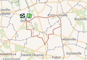

Length
12.1 km

Max alt
122 m

Uphill gradient
96 m
Km-Effort
13.4 km

Min alt
86 m

Downhill gradient
96 m
Boucle
Yes
Creation date :
2014-12-10 00:00:00.0
Updated on :
2014-12-10 00:00:00.0
2h15
Difficulty : Medium

FREE GPS app for hiking
 SityTrail
IGN / Geographical institutes
SityTrail Plus
The world is yours!
About
Trail Other activity of 12.1 km to be discovered at Normandy, Seine-Maritime, Drosay. This trail is proposed by tracegps.
Description
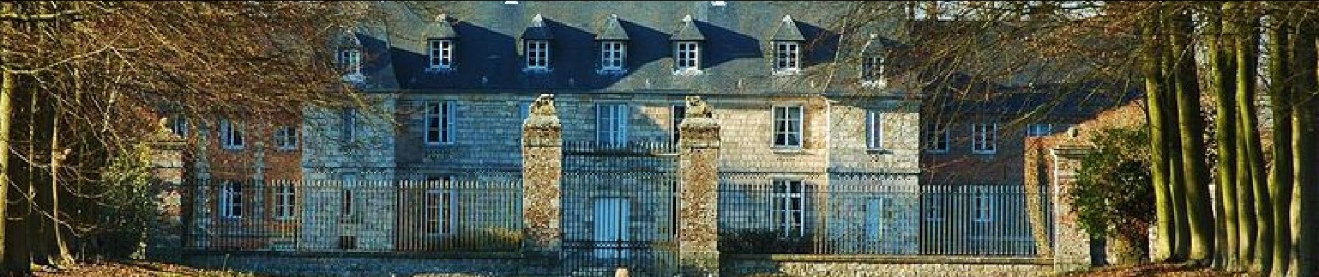
Circuit au départ de l'église de Drosay. Belles fermes et grands espaces cultivés.
Photos


Positioning
Country:
France
Region :
Normandy
Department/Province :
Seine-Maritime
Municipality :
Drosay
Location:
Unknown
Start:(Dec)
Start:(UTM)
337554 ; 5518036 (31U) N.
Comments