


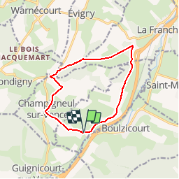

9.7 km | 13.9 km-effort


User


FREE GPS app for hiking
 SityTrail
IGN / Geographical institutes
SityTrail World
The world is yours!
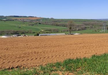
Trail Walking of 10.5 km to be discovered at Grand Est, Ardennes, Saint-Pierre-sur-Vence. This trail is proposed by tracegps.
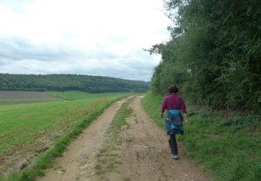
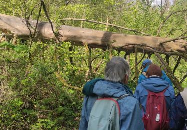
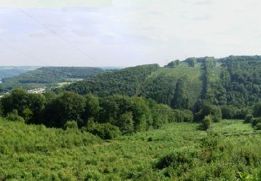
Départ du parking devant l'église de St-Pierre, direction Champigneul. Intéressante balade sur les crêtes préardennaise les plus au Nord, superbe chemin dans la traversée du bois. Les bâtis sont en pierres de Don-le-Mesnil.


Walking

Walking
Walking
Mountain bike

Walking
Walking
Walking