Trail Walking Nozières - Col du Buisson - Nozières - Photo

Col du Buisson - Nozières

 tracegps
tracegps

User

© OpenStreetMap contributors
Length
Length
12 km
Max alt
Max alt
1032 m
Uphill gradient
Uphill gradient
450 m
Km-Effort
Km-Effort  
18 km
Min alt
Min alt
744 m
Downhill gradient
Downhill gradient
450 m
Boucle
Boucle
Yes
Creation date :
2014-12-10 00:00:00.0
Updated on :
2014-12-10 00:00:00.0

(0 Reviews)

Walking
Walking
3h30
Difficulty : Medium

Scan this QR Code to open this trail in the SityTrail application

FREE GPS app for hiking

Logo SityTrail SityTrail
IGN / Geographical institutes

Download SityTrail from the App Store Download SityTrail from Google Play

Logo SityTrail SityTrail World

The world is yours!

Download SityTrail from the App Store Download SityTrail from Google Play Download SityTrail on Huawei AppGallery

About

Trail Walking of 12 km to be discovered at Auvergne-Rhône-Alpes, Ardèche, Nozières. This trail is proposed by tracegps.

Description

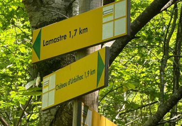
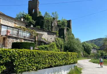
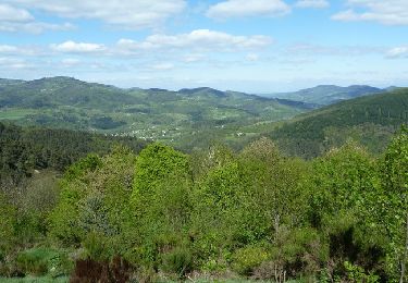
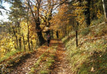
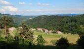
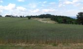
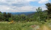
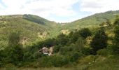
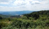
Parking à la sortie de Nozières en direction du col du Buisson, transformateur EDF. Prendre la direction de Rochebloine, passer le Tracol et parvenir au poteau Rochebloine, fair l'aller-retour pour visiter les ruines. La vue est superbe sur la vallée du Doux. Descendre par le chemin herbeux jusqu'à Malsert (tourner à gauche après la dernière maison) et poursuivre dans la prairie. Déboucher sur une petite route que l'ont prend à droite. Aller jusqu'à La Valette et tourner à gauche juste après la ferme abandonnée. Suivre un agréable chemin dans un bois de châtaigniers et arriver sur la route D236 pour tourner à gauche en direction du Col du Buisson. Possibilité de visiter le village miniature. Un peu avant le co,l tourner à droite en direction de Nozière. Parvenir à la Ferme de La Chaux et tourner à gauche à la croix. Le chemin rejoint un col au dessus de Le Tracol, suivre la petit route à gauche et la quitter quelques mètres plus loin pour un bon chemin à droite. Descendre au dessus de Pailher, remonter au terrain de foot et revenir à Nozières. Bonne rando.

Elevation profile

Photos

Positioning

Country:
France
Region :
Auvergne-Rhône-Alpes
Department/Province :
Ardèche
Municipality :
Nozières
Location:
Unknown
Start:(UTM)
621527 ; 4987380 (31T) N.

Comments

Please log in to post a review or rate the element
 

Trails nearby

Trail sport Lamastre - Lamastre Montreynaud - Photo
sport
alinetpierre

sport

Very easy
Lamastre, Auvergne-Rhône-Alpes, Ardèche, France
17.7 km | 26 km-effort
Unknown
Yes
Trail sport Lamastre - Lamastre Desaignes - Photo
sport
alinetpierre

sport

Very easy
Lamastre, Auvergne-Rhône-Alpes, Ardèche, France
21 km | 29 km-effort
Unknown
Yes
Trail Walking Lamastre - urbilhac  - Photo
Walking
brigitte07

Walking

Very easy
(1)
Lamastre, Auvergne-Rhône-Alpes, Ardèche, France
6.5 km | 9.6 km-effort
1h 58min
Yes
Trail Mountain bike Désaignes - Autour de Combeneyre - Désaignes - Photo
Mountain bike
tracegps

Mountain bike

Medium
Désaignes, Auvergne-Rhône-Alpes, Ardèche, France
13.1 km | 18.3 km-effort
1h 30min
Yes
Trail Walking Désaignes - Autour de Combeneyre - Désaignes - Photo
Walking
tracegps

Walking

Medium
Désaignes, Auvergne-Rhône-Alpes, Ardèche, France
13.1 km | 18.3 km-effort
3h 0min
Yes
Trail Walking Désaignes - La Terrasse - Désaignes - Photo
Walking
tracegps

Walking

Medium
Désaignes, Auvergne-Rhône-Alpes, Ardèche, France
13.3 km | 21 km-effort
4h 0min
Yes
Trail Walking Désaignes - Les Sauvages - Desaignes - Photo
Walking
tracegps

Walking

Medium
Désaignes, Auvergne-Rhône-Alpes, Ardèche, France
12.3 km | 17.1 km-effort
3h 0min
Yes
Trail Walking Lamastre - Tour de Monteil - Lamastre  (07) - Photo
Walking
tracegps

Walking

Medium
(2)
Lamastre, Auvergne-Rhône-Alpes, Ardèche, France
8.4 km | 10.3 km-effort
1h 45min
Yes
Trail Walking Lamastre - Lamastre La Rosière Combeneyre - Photo
Walking
tracegps

Walking

Medium
(1)
Lamastre, Auvergne-Rhône-Alpes, Ardèche, France
10.1 km | 14 km-effort
3h 0min
Yes


Close
My subscriptions