rando boucle prov Liège 11 GR pont sçay . oneux . chambranle. septroux . martinrive . rouvreux . presseux .fraitures . rivage. pont de sçay

stef789
User GUIDE
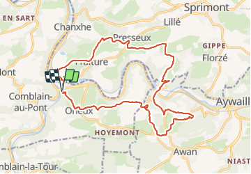

Length
18.2 km

Max alt
292 m

Uphill gradient
495 m
Km-Effort
25 km

Min alt
98 m

Downhill gradient
502 m
Boucle
Yes
Creation date :
2022-03-26 08:19:05.455
Updated on :
2022-03-26 13:13:00.145
4h51
Difficulty : Medium

FREE GPS app for hiking
 SityTrail
IGN / Geographical institutes
SityTrail Plus
The world is yours!
About
Trail Walking of 18.2 km to be discovered at Wallonia, Liège, Comblain-au-Pont. This trail is proposed by stef789.
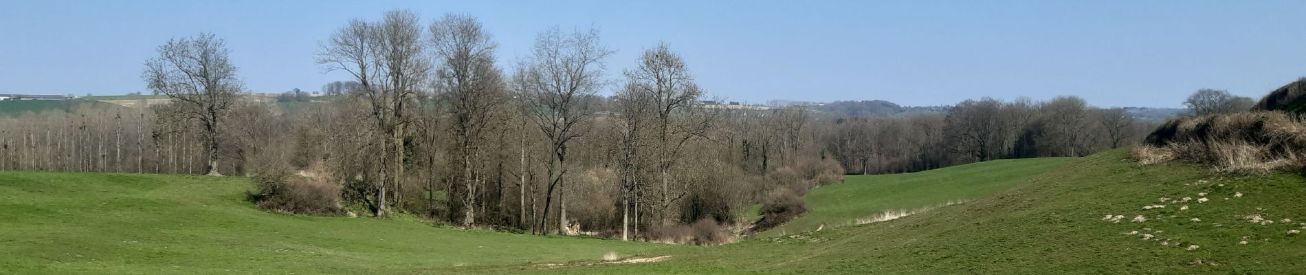
Photos


24 photos in total. Please click on a photo to see them all in the gallery.
Positioning
Country:
Belgium
Region :
Wallonia
Department/Province :
Liège
Municipality :
Comblain-au-Pont
Location:
Unknown
Start:(Dec)
Start:(UTM)
683792 ; 5595083 (31U) N.
Comments