


campagne et hameaux de Wambrechies

BrassensJC
User


Length
8 km

Max alt
24 m

Uphill gradient
36 m
Km-Effort
8.4 km

Min alt
12 m

Downhill gradient
36 m
Boucle
Yes
Creation date :
2022-03-29 12:41:11.757
Updated on :
2022-03-29 14:29:31.405
1h47
Difficulty : Medium

FREE GPS app for hiking
 SityTrail
IGN / Geographical institutes
SityTrail Plus
The world is yours!
About
Trail Walking of 8 km to be discovered at Hauts-de-France, Nord, Wambrechies. This trail is proposed by BrassensJC.
Photos

Positioning
Country:
France
Region :
Hauts-de-France
Department/Province :
Nord
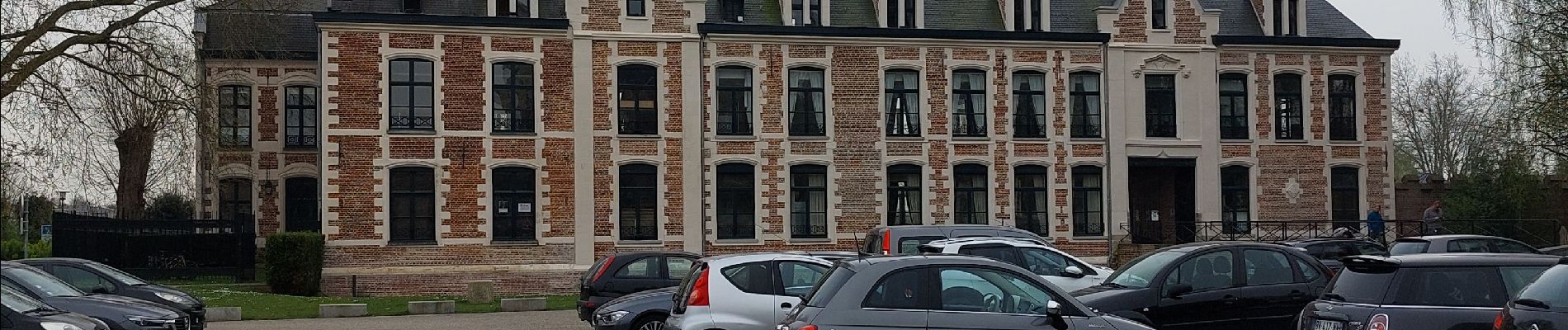
Municipality :
Wambrechies
Location:
Unknown
Start:(Dec)
Start:(UTM)
503845 ; 5615011 (31U) N.
Comments