


Chastel Arnaud

raygautier
User
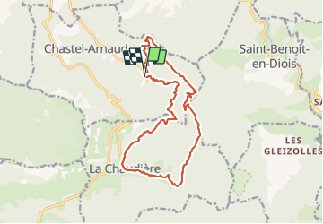

Length
18.1 km

Max alt
1051 m

Uphill gradient
778 m
Km-Effort
28 km

Min alt
515 m

Downhill gradient
774 m
Boucle
Yes
Creation date :
2022-03-31 06:28:25.0
Updated on :
2022-03-31 13:05:15.536
6h36
Difficulty : Very difficult

FREE GPS app for hiking
 SityTrail
IGN / Geographical institutes
SityTrail Plus
The world is yours!
About
Trail Walking of 18.1 km to be discovered at Auvergne-Rhône-Alpes, Drôme, Chastel-Arnaud. This trail is proposed by raygautier.
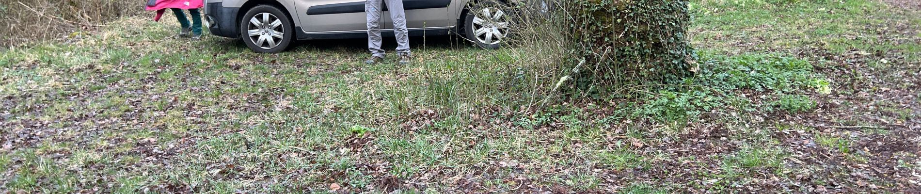
Photos

Positioning
Country:
France
Region :
Auvergne-Rhône-Alpes
Department/Province :
Drôme
Municipality :
Chastel-Arnaud
Location:
Unknown
Start:(Dec)
Start:(UTM)
676322 ; 4947289 (31T) N.
Comments