


découverte versigny

jojo02
User

Length
48 km

Max alt
138 m

Uphill gradient
445 m
Km-Effort
54 km

Min alt
43 m

Downhill gradient
448 m
Boucle
No
Creation date :
2022-04-03 12:06:24.215
Updated on :
2022-04-03 15:46:30.293
3h38
Difficulty : Very difficult

FREE GPS app for hiking
 SityTrail
IGN / Geographical institutes
SityTrail Plus
The world is yours!
About
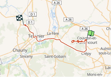
Trail Walking of 48 km to be discovered at Hauts-de-France, Aisne, Couvron-et-Aumencourt. This trail is proposed by jojo02.
Positioning
Country:
France
Region :
Hauts-de-France
Department/Province :
Aisne
Municipality :
Couvron-et-Aumencourt
Location:
Unknown
Start:(Dec)
Start:(UTM)
537242 ; 5499143 (31U) N.
Comments