


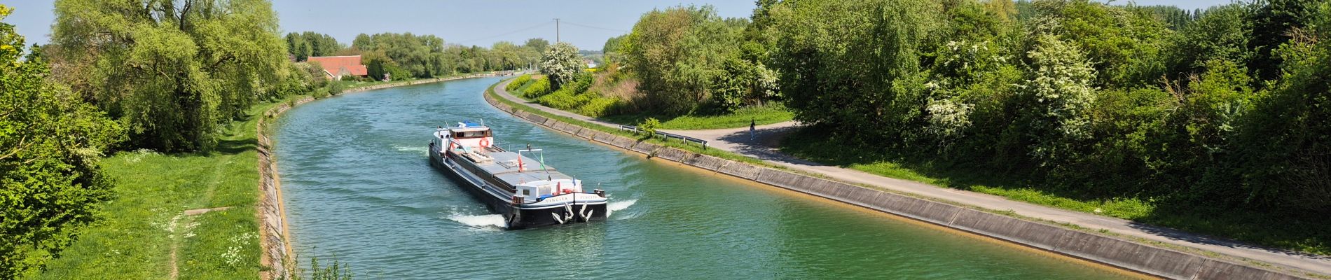
Les marais d'Arleux

Greg813
User
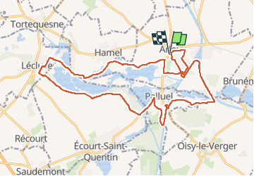


4h03
Difficulty : Medium

FREE GPS app for hiking
 SityTrail
IGN / Geographical institutes
SityTrail Plus
The world is yours!
About
Trail Walking of 21 km to be discovered at Hauts-de-France, Nord, Arleux. This trail is proposed by Greg813.
Description
Randonnée avec Mettons le Monde en Marche autour des Marais de Saudemont et d'Aubigny.
Très plat et avec de nombreuses possibilités de boucles dans de magnifiques décors, cela vaut le détour !
Pour d'autres photos, voir le site de l'association :
https://mmm-rando.org/arleux-2022/
Photos


Positioning
Comments