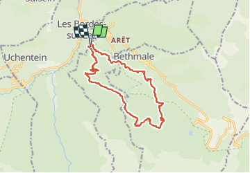

5.4 km | 8.8 km-effort

User


FREE GPS app for hiking
 SityTrail
IGN / Geographical institutes
SityTrail World
The world is yours!
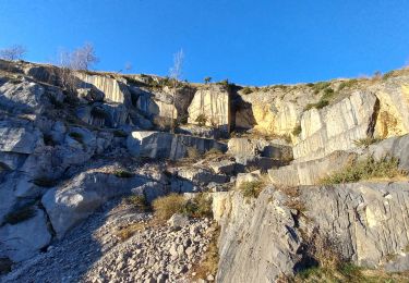
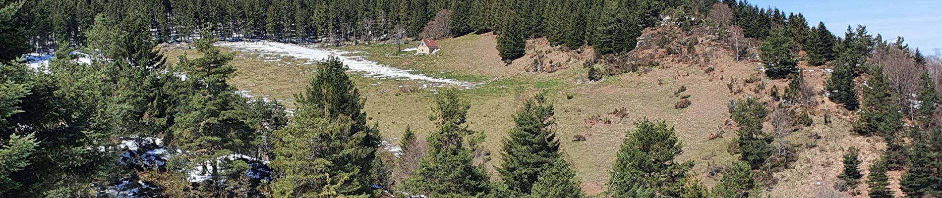
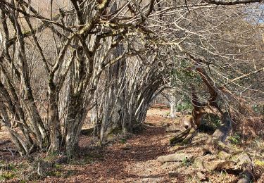
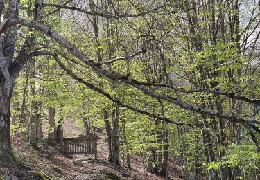
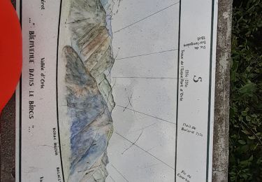
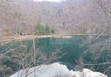
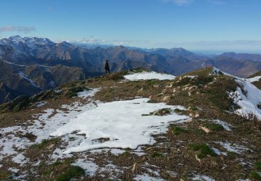
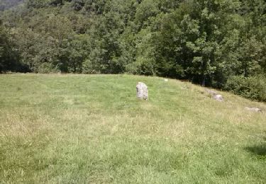
Trail Walking of 15 km to be discovered at Occitania, Ariège, Arrien-en-Bethmale. This trail is proposed by chrisgps.
2ème reco pour trouver le raccourci.


Walking
Walking
Walking
Walking
Walking
Walking
Walking