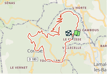
Le Fraïsse (Villecelle) - Col des Princes - Saint-Vital - Combes - Torteillan

PiloudeBamako
User


4h25
Difficulty : Difficult

FREE GPS app for hiking
 SityTrail
IGN / Geographical institutes
SityTrail Plus
The world is yours!
About
Trail Walking of 13.5 km to be discovered at Occitania, Hérault, Combes. This trail is proposed by PiloudeBamako.
Description
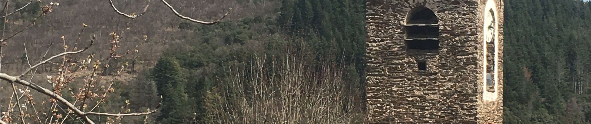
Boucle au départ du hameau du Fraïsse (Villecelle au-dessus de Lamalou-les-Bains) en passant par Combes. Beaux chemins dans les châtaigniers. Détour A/R à la chapelle Saint-Vital avec un beau point de vue sur le village de L'Horte.
Photos
 - Col des Princes - Saint-Vital - Combes - Torteillan - Photo 1")
 - Col des Princes - Saint-Vital - Combes - Torteillan - Photo 2")
 - Col des Princes - Saint-Vital - Combes - Torteillan - Photo 3")
 - Col des Princes - Saint-Vital - Combes - Torteillan - Photo 4")
 - Col des Princes - Saint-Vital - Combes - Torteillan - Photo 5")
 - Col des Princes - Saint-Vital - Combes - Torteillan - Photo 6")
 - Col des Princes - Saint-Vital - Combes - Torteillan - Photo 7")
 - Col des Princes - Saint-Vital - Combes - Torteillan - Photo 8")
 - Col des Princes - Saint-Vital - Combes - Torteillan - Photo 9")
 - Col des Princes - Saint-Vital - Combes - Torteillan - Photo 10")
 - Col des Princes - Saint-Vital - Combes - Torteillan - Photo 11")
 - Col des Princes - Saint-Vital - Combes - Torteillan - Photo 12")
Positioning
Comments