


AEROTRAIN

canal
User

Length
11.7 km

Max alt
178 m

Uphill gradient
71 m
Km-Effort
12.6 km

Min alt
147 m

Downhill gradient
69 m
Boucle
Yes
Creation date :
2022-04-09 06:33:31.1
Updated on :
2022-04-09 06:36:15.069
2h52
Difficulty : Difficult

FREE GPS app for hiking
 SityTrail
IGN / Geographical institutes
SityTrail Plus
The world is yours!
About
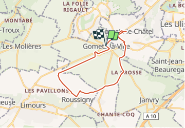
Trail Walking of 11.7 km to be discovered at Ile-de-France, Essonne, Gometz-la-Ville. This trail is proposed by canal.
Description
Gometz
Positioning
Country:
France
Region :
Ile-de-France
Department/Province :
Essonne
Municipality :
Gometz-la-Ville
Location:
Unknown
Start:(Dec)
Start:(UTM)
435577 ; 5391305 (31U) N.
Comments