


RB Wavreumont 🥾

Ko-Rando
User
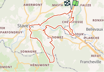

Length
19.4 km

Max alt
535 m

Uphill gradient
522 m
Km-Effort
26 km

Min alt
277 m

Downhill gradient
522 m
Boucle
Yes
Creation date :
2022-04-10 07:55:59.219
Updated on :
2022-04-10 13:40:52.307
4h57
Difficulty : Easy

FREE GPS app for hiking
 SityTrail
IGN / Geographical institutes
SityTrail Plus
The world is yours!
About
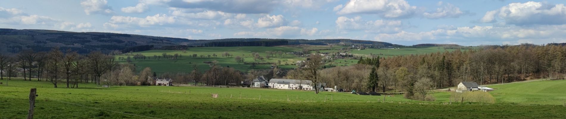
Trail Walking of 19.4 km to be discovered at Wallonia, Liège, Stavelot. This trail is proposed by Ko-Rando.
Description
Belle rando, paysages variés 🌿
Suffisamment sportive 🥾
Photos


Positioning
Country:
Belgium
Region :
Wallonia
Department/Province :
Liège
Municipality :
Stavelot
Location:
Unknown
Start:(Dec)
Start:(UTM)
712151 ; 5588091 (31U) N.
Comments