


autour de Collioure a travers les vignes

stef789
User GUIDE


Length
8.8 km

Max alt
257 m

Uphill gradient
286 m
Km-Effort
12.7 km

Min alt
5 m

Downhill gradient
291 m
Boucle
Yes
Creation date :
2022-04-10 12:45:26.553
Updated on :
2022-04-10 16:20:24.689
3h33
Difficulty : Easy

FREE GPS app for hiking
 SityTrail
IGN / Geographical institutes
SityTrail Plus
The world is yours!
About
Trail Walking of 8.8 km to be discovered at Occitania, Pyrénées-Orientales, Collioure. This trail is proposed by stef789.
Description
attention le GPS va vous indiquer un emplacement sur le pont de la grand route or le départ est en dessous... allez à Collioure et de là branchez le GPS
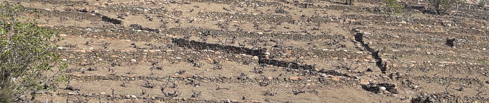
Photos


Positioning
Country:
France
Region :
Occitania
Department/Province :
Pyrénées-Orientales
Municipality :
Collioure
Location:
Unknown
Start:(Dec)
Start:(UTM)
506063 ; 4707045 (31T) N.
Comments