


Boucle de Rochepradière en passant par Douhady

Gegetop
User

Length
6.7 km

Max alt
739 m

Uphill gradient
233 m
Km-Effort
9.7 km

Min alt
513 m

Downhill gradient
229 m
Boucle
Yes
Creation date :
2014-12-10 00:00:00.0
Updated on :
2014-12-10 00:00:00.0
2h06
Difficulty : Easy

FREE GPS app for hiking
 SityTrail
IGN / Geographical institutes
SityTrail Plus
The world is yours!
About
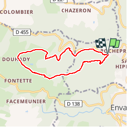
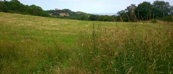
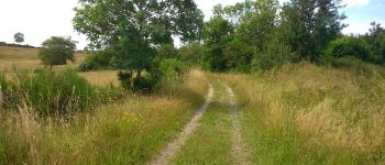
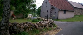
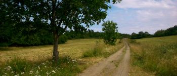
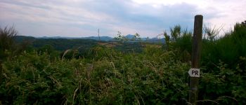
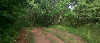
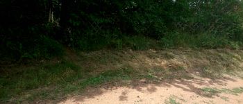
Trail Walking of 6.7 km to be discovered at Auvergne-Rhône-Alpes, Puy-de-Dôme, Châtel-Guyon. This trail is proposed by Gegetop.
Description
Balade facile la plupart en sous bois à faire en famille.
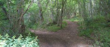
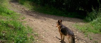
Photos


Points of interest


Positioning
Country:
France
Region :
Auvergne-Rhône-Alpes
Department/Province :
Puy-de-Dôme
Municipality :
Châtel-Guyon
Location:
Unknown
Start:(Dec)
Start:(UTM)
503565 ; 5084357 (31T) N.
Comments
Excellent. !