


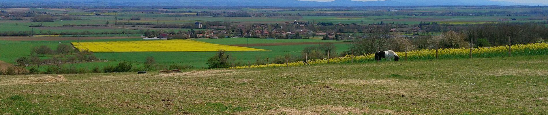
Les collines de Mazerier

Gegetop
User


Length
14.1 km

Max alt
458 m

Uphill gradient
220 m
Km-Effort
17 km

Min alt
332 m

Downhill gradient
223 m
Boucle
Yes
Creation date :
2022-04-11 09:42:48.09
Updated on :
2022-04-11 13:44:41.298
3h23
Difficulty : Medium

FREE GPS app for hiking
 SityTrail
IGN / Geographical institutes
SityTrail Plus
The world is yours!
About
Trail Walking of 14.1 km to be discovered at Auvergne-Rhône-Alpes, Allier, Mazerier. This trail is proposed by Gegetop.
Description
PR. 15 légèrement modifié sur les 3 derniers km.
Photos


Positioning
Country:
France
Region :
Auvergne-Rhône-Alpes
Department/Province :
Allier
Municipality :
Mazerier
Location:
Unknown
Start:(Dec)
Start:(UTM)
514676 ; 5107980 (31T) N.
Comments