


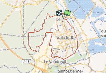
leryval de reuil

dedejojo
User

Length
19.7 km

Max alt
139 m

Uphill gradient
257 m
Km-Effort
23 km

Min alt
6 m

Downhill gradient
257 m
Boucle
Yes
Creation date :
2022-04-12 07:42:50.092
Updated on :
2022-04-12 13:11:23.675
5h27
Difficulty : Very difficult

FREE GPS app for hiking
 SityTrail
IGN / Geographical institutes
SityTrail Plus
The world is yours!
About
Trail Walking of 19.7 km to be discovered at Normandy, Eure, Léry. This trail is proposed by dedejojo.
Positioning
Country:
France
Region :
Normandy
Department/Province :
Eure
Municipality :
Léry
Location:
Unknown
Start:(Dec)
Start:(UTM)
369583 ; 5460759 (31U) N.
Comments