


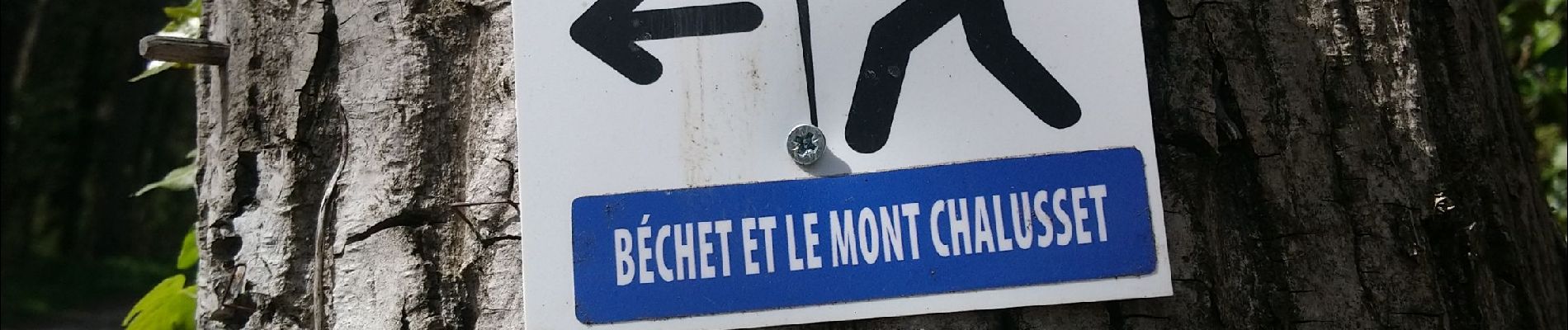
Béchet et le mont Chalusset

Gegetop
User


Length
7.8 km

Max alt
487 m

Uphill gradient
180 m
Km-Effort
10.3 km

Min alt
396 m

Downhill gradient
182 m
Boucle
Yes
Creation date :
2022-04-14 11:54:38.089
Updated on :
2022-04-14 13:46:16.344
1h50
Difficulty : Easy

FREE GPS app for hiking
 SityTrail
IGN / Geographical institutes
SityTrail Plus
The world is yours!
About
Trail Walking of 7.8 km to be discovered at Auvergne-Rhône-Alpes, Puy-de-Dôme, Châtel-Guyon. This trail is proposed by Gegetop.
Description
Boucle balisée bleu.
Photos

Positioning
Country:
France
Region :
Auvergne-Rhône-Alpes
Department/Province :
Puy-de-Dôme
Municipality :
Châtel-Guyon
Location:
Unknown
Start:(Dec)
Start:(UTM)
504919 ; 5083856 (31T) N.
Comments