


Le Faouët - Les cahots de l'Elle

MichelRando7656
User
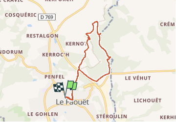


2h55
Difficulty : Medium

FREE GPS app for hiking
 SityTrail
IGN / Geographical institutes
SityTrail Plus
The world is yours!
About
Trail Walking of 7.2 km to be discovered at Brittany, Morbihan, Le Faouët. This trail is proposed by MichelRando7656.
Description
Un peu de goudron pour le début et la fin de la randonnée.
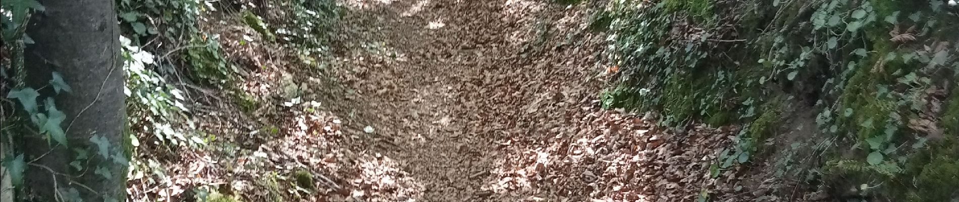
Entre les deux, de superbes sentiers encaissés et sous les grands arbres.
Une belle balade le long de l'Éllé , assez turbulente par un très beau soleil et une fraîcheur agréable sous les frondaisons.
Photos


Positioning
Comments