


18

Divio
User

Length
29 km

Max alt
307 m

Uphill gradient
411 m
Km-Effort
35 km

Min alt
162 m

Downhill gradient
506 m
Boucle
No
Creation date :
2022-04-19 07:05:13.081
Updated on :
2022-04-19 10:28:16.19
3h22
Difficulty : Very easy

FREE GPS app for hiking
 SityTrail
IGN / Geographical institutes
SityTrail Plus
The world is yours!
About
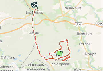
Trail Nordic walking of 29 km to be discovered at Grand Est, Meuse, Beaulieu-en-Argonne. This trail is proposed by Divio.
Positioning
Country:
France
Region :
Grand Est
Department/Province :
Meuse
Municipality :
Beaulieu-en-Argonne
Location:
Unknown
Start:(Dec)
Start:(UTM)
650067 ; 5433365 (31U) N.
Comments