


balisage avesnois avril 2022

jeanluc59
User


Length
16.1 km

Max alt
233 m

Uphill gradient
167 m
Km-Effort
18.3 km

Min alt
179 m

Downhill gradient
166 m
Boucle
Yes
Creation date :
2022-04-22 07:46:05.295
Updated on :
2022-04-29 16:19:19.111
4h32
Difficulty : Medium

FREE GPS app for hiking
 SityTrail
IGN / Geographical institutes
SityTrail Plus
The world is yours!
About
Trail Walking of 16.1 km to be discovered at Hauts-de-France, Nord, Quiévelon. This trail is proposed by jeanluc59.
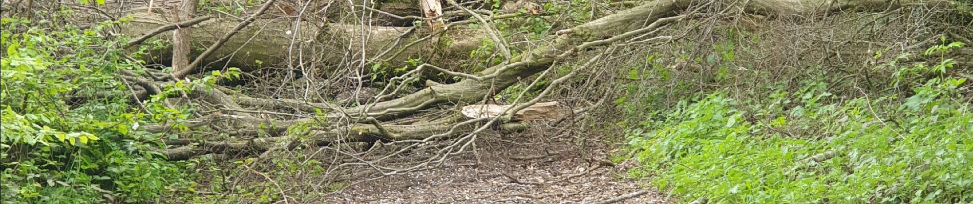
Photos


Positioning
Country:
France
Region :
Hauts-de-France
Department/Province :
Nord
Municipality :
Quiévelon
Location:
Unknown
Start:(Dec)
Start:(UTM)
576613 ; 5565631 (31U) N.
Comments